Micaela Camino
Other projects
20 Sep 2012
Designing a Conservation Landscape for Key Stone, Umbrella and Endangered Endemic Species in the Semi Arid Argentinean Chaco
The aim is the long-term conservation of both the Dry Chaco region and the Chacoan peccary (Catagonus wagneri), based on the development of grass-roots conservation actions.
This project contributes to the conservation of the threatened Dry Chaco region by focusing on the endemic, endangered and highly evolutionarily distinct Chacoan peccary (Catagonus wagneri). The project has three main objectives:
(1) Providing information about:
(a) The ecology and status of the Chacoan peccary and
(b) Efficient methods for studying the species;
(2) Raising awareness of the species and the region amongst local people, decision makers and the general public;
(3) Building and strengthening local capacities.
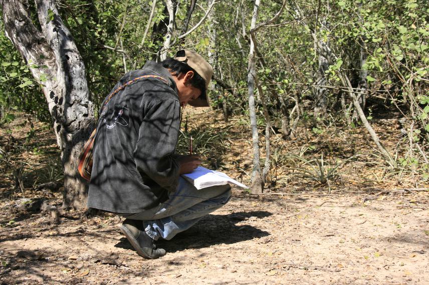
To accomplish the first objective we are applying three different field methods for studying the species. These are camera traps, transects and a locally based monitoring system. We collect ecological information about the species and also compare the three methods in their efficiency and in their capacity of increasing local capacities. With the information collected we will estimate occupancy, relative abundance and habitat selection of the species.
For the second objective, we are developing a communication, education and public awareness programme inside and outside the study area. Outside the study area, this is intended to raise awareness of general public and decision makers. Inside the study area, we are helping local people to develop their own educational material and public presentations. Therefore, educational material and information about the species and the region are provided by local people for local people.
Finally, to build and strengthen local capacities we involve local people in all stages of the project. This third objective is transversal to the whole project. People participate of research and of the communication, education and public awareness programme and become active participants in conservation actions and management of their territories. Framed in these activities, local people learn how to use GPS, cameras, satellite images, computers and how to transmit information they have of the ecological system they are part of.