Harris Wei-Khang Heng

Other projects
23 May 2017
Mapping Dugong Habitat and Understanding Dugong Feeding Preferences in Sibu-Tinggi Archipelago, Johor, Malaysia - Towards Critical Habitat Protection

26 May 2020
Incorporating Drone Technology in Determining Population Size and Important Habitats of Dugongs in the Sibu-Tinggi Archipelago, Johor, Malaysia
Our previous project successfully combined drone surveys and environmental DNA (eDNA) sampling to monitor dugong habitat use – a safer, non-invasive, and scalable approach for tracking rare and elusive species. From this, we developed dugong-specific eDNA markers and built the first dugong occupancy model for the Sibu-Tinggi Archipelago, establishing a crucial scientific baseline for the largest dugong population in Peninsular Malaysia.
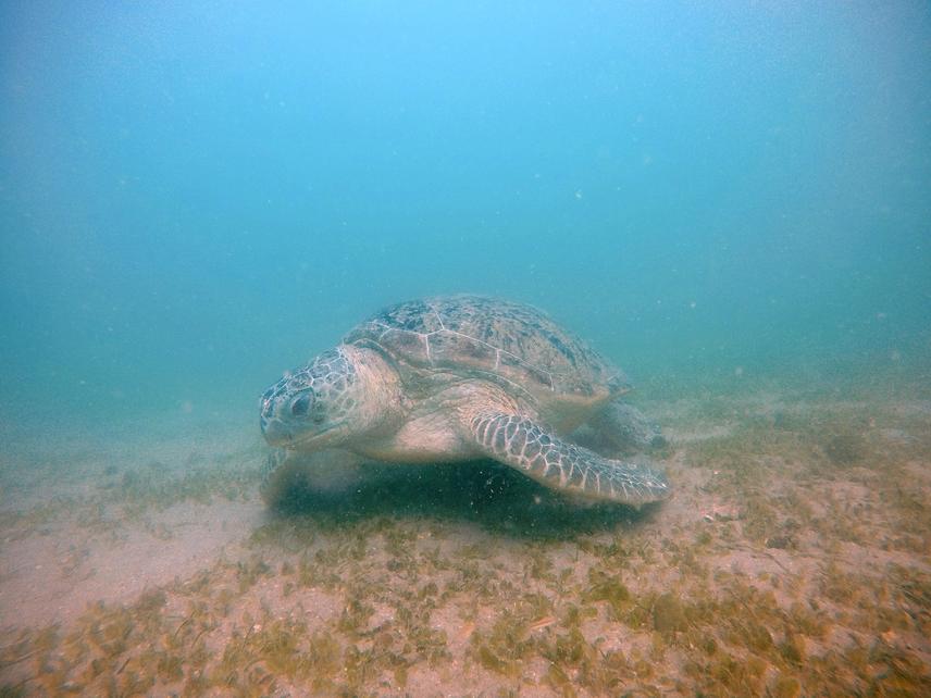
A green turtle feeding on the seagrass in Sibu Island © UMSD Team
This project builds directly on those foundations. We will expand our eDNA work across a broader area and extend it to sea turtles – another key seagrass-associated megafauna – to gather fine-scale habitat use data across species. Alongside this, we will deploy satellite tags on nesting sea turtles in the Mersing Islands, addressing a critical geographic gap in our understanding of their movements and migratory connectivity, and identifying key foraging grounds beyond the archipelago that warrant protection.

A drone survey captures a dugong herd swimming off the coast of Sibu Island © SeaMeg Team
Together, these approaches mark a deliberate shift from single-species monitoring to ecosystem-level habitat connectivity. By integrating data across multiple species and spatial scales, this project will support smarter, evidence-based marine protected area planning and contribute to biodiversity conservation efforts at both the national and regional level.

Collecting eDNA samples by filtering seawater from a boat © SeaMeg Team