Armindo Da Silva
Other projects
31 Jan 2011
Integrated Geodatabase for Rainfall Variability Adaptation and Long Term Elephant Conservation in Semi-Arid Rangelands of Mozambique Central Ecosystem
The study is based on transects lines and direct observations supported by GPS (collars) to estimate Elephants’ spatial variables. Quadrats and plots assisted by satellite imagery and GPS will provide information on habitat types and status.
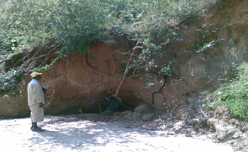
Elephant salting site
Protected Areas (PAs) selection has been opportunistic and ad hoc, once it was based on the presence of large game population and administrative/or economic interests. In this regard, much of the biodiversity most in need of protection has not been protected and now there is a strong loss of unprotected biological diversity (Campbell and Hofer, 1995; New, 2000; Severre, 2000; New, 2000; Scherl, et al., 2004; Songorwa, 2004; Goodman, 2004; Margules, 2005), the largest threat facing wildlife in Africa.
In Mozambique 95.31% (761910 km2) of the total land extension (799380 km2) is not strictly protected (Ministry of Tourism, 2003; Costa, 2006). Between unprotected land (5.84% game reserves, 5.28% hunting areas and 84.19% without any status) the Mozambique Central Ecosystem is a vast area located between 17º45’00” and 20º00’00” latitude south and 32º50’00” and 38º00’00” longitude east. It is characterized by mountain highlands, plateau midlands and a vast rift valley of cyclical flooding phenomena (Beilfuss, 2007). Its floodplains provide land for agriculture, hunting and grazing. It also provides habitats for diverse and abundant population of wildlife such as buffalos (Syncerus caffer), African Elephants, impala (Aepyceros melampus), waterbuck (Kobus ellipsiprymnus), hippopotamus (Hippopotamus amphibious), lion (Panthera leo), wildebeest (Connochaetes taurinus), eland (Taurotragus oryx), sable (Hippotragus niger), hyaena (Crocuta crocuta), cheetah (Acinonyx jubatus) and numerous threatened and endangered species including wattled crane. Its marine areas are of extensive coastal mangroves and estuaries that support a productive prawn fishery (Da Silva 2005). Because of its rich biodiversity and national economic importance, the Mozambique Central Ecosystem is a candidate for designation as a Wetland of International Importance under the Ramsar Conservation.
This research activity designed to plan and monitor areas for Elephants’ conservation in Mozambique Central Ecosystem using GIS and Remote Sensing. In that respect, the results of this investigation will help us to manage elephants outside protected areas. Specifically, it aims to:
(i) Determine, by use of GPS (collars) and GIS analysis tools, the Elephants’ spatial distribution.
(ii) Map, by use of satellite imagery, GPS and inventories the habitat diversity spatial distribution.
(iii) Examine, by use of Pearson coefficient of correlation and spatial correlation analysis, the relationship between habitat types and Elephants’ spatial distribution.
(iv) Determine, by use of coefficient of determination, the key variables that explain the seasonal habitat selection or avoidance by elephants.
(v) Design, by use of GIS tools, scores-ranking and numerical clustering analysis, the candidate sites for Elephants’ conservation.
(vi) Monitor, by comparison of satellite imagery data and surveys, wildlife habitats gains, losses and persistence within and outside Protected Areas between 1992, 2000 and 2008;
(vii) Assess, by use of multiple ring buffer, overlays analysis, spatial statistics analysis, the implications of those changes for Elephants conservation in Mozambique Central Ecosystem.
The study is based on transects lines and direct observations supported by GPS (collars) to estimate Elephants’ spatial variables. Quadrats and plots assisted by satellite imagery and GPS will provide information on habitat types and status. GIS tools will be used, as well, to relate elephants’ distribution to habitat types and to know which environmental and anthropogenic variables bound their ecological range. All variables will be combined using GIS tools; scores-ranking analysis; numerical clustering and multivariate analysis to determine priority areas for elephants’ conservation and to monitor existing protected habitats.
At the end of the study an elephants’ geodatabase will be built and managed. This will help us to map elephants’ migration routes (corridors), elephants’ distribution and density, elephants’ home ranges, habitat types, patterns of fragmentation of habitats, habitat dominant plant species, habitat common and rare plant species, relationship between elephants’ parameters and habitats types, selected and avoided habitats by elephants, representative and flexible habitats, habitats used by elephants but in otherwise threatened by human being (vulnerable habitats), habitats that can connect different PAS, posters and films showing the relationship between elephants distribution and habitat types, elephants’ habitat suitability model for the Mozambique Central Ecosystem.