Suman Raja Jumani
Other projects
18 Apr 2016
Assessing the Socio-Ecological Impacts of Small Hydropower Projects in the Western Ghats, India
Developing countries, like India, are witnessing a proliferation of dams to meet their demands. Thousands of dams are planned for future development in India’s Western Ghats landscape, a freshwater ecoregion, with little consideration to impacts on biodiversity and local communities. We will develop an index-based approach to assess the cumulative impacts of dams under existing and proposed scenarios of development on river fragmentation and flow-alteration in data-deficit regions and validate this approach through field data collection of freshwater fish and macroinvertebrates. This approach will then be applied to conserve riverine habitats and biodiversity by enabling the identification of ‘good’ and ‘bad’ dams, no-go river stretches, and priority mitigation zones.
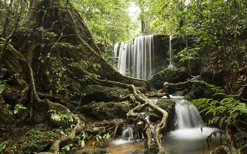
Forest stream in the Western Ghats. © Siddarth Machado.
With over 125,000 large and small dams across the world, freshwater ecosystems are among the most threatened globally. Resultant fragmentation, flow alteration, and changing sediment cycling regimes have adversely influenced freshwater biodiversity, which have extinction rates five times that of terrestrial animals.
Ecologically rich developing countries are witnessing a proliferation of river infrastructure projects to meet their growing demands. This is especially true in India, where over 9000 small and large dams have been proposed for further development in addition to the existing 5,100 large and 1,266 small dams. Many of these fall within the Western Ghats – a biodiversity hotspot and freshwater ecoregion, having high fish species richness and endemism. The rivers here support numerous ecological processes, millions of people, and over 350 fish species (66% endemic). However, the unscientific proliferation of river-related infrastructure is adversely impacting most rivers, their ecosystem services, biodiversity and dependent local communities. The dearth of hydrologic data availability has precluded effective basin-wide development planning, further exacerbating the issue.
We aim to address this gap by proposing an index-based framework to assess the cumulative impacts of dams, with the goal of facilitating freshwater habitat protection and basin-wide development planning. Here, we propose spatially explicit indices of river fragmentation and flow alteration based on readily obtainable data so that this method can be applied to data-deficit regions.
We will validate the efficacy of this approach by assessing their ecological relevance and scale of influence using freshwater fish and macroinvertebrate communities. Establishing a predictive relationship between these indices and functional connectivity will enable the use of this method in scenario assessments and conservation planning. Specifically, we will be able to identify ‘good’ and ‘bad’ dams, no-go river stretches, and priority mitigation zones or dams that should be targeted for priority mitigation measures.