Canek Rivera Arroyo
This study aims to estimate the density and distribution of Pionus senilis (white crowned parrot) in Mexico and Central America; evaluate the current status of the species and; define priority areas for conservation. For this, we will elaborate a fine scale species distribution map based on the relationship between density and the optimal environment. This map will allow us to estimate the population size and to identify the conservation level of the natural protected areas.
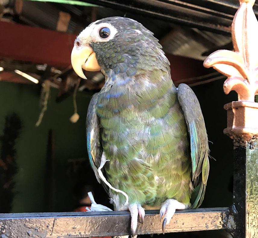
Breeding in captivity of Pionus senilis. Season 2017 (Xilitla, San Luis Potosi).
The white crowned parrot (Pionus senilis) is distributed in the south of Tamaulipas, Chiapas, the Yucatan peninsula in Mexico, the Mayan jungle of Guatemala, Belize, Honduras, Nicaragua, Costa Rica and the west of Panama. In México, this species is catalogued as threatened by the NOM-059-SEMARNAT-2010 (SEMARNAT 2010), as least concerned by the International Union for Conservation Nature (IUCN 2016), and in the Appendix II from CITES (CITES 2016). It has been reported that populations of Pionus senilis have been reduced and completely lost in the west of Quintana Roo and some zones in the Gulf of México (Salinas-Melgoza and Renton 2008). The main threats to this species are human activities (i.e. deforestation and farming and livestock activities) that reduce the habitat (BirdLife 2014) and pet trade (Cantú et al. 2007). Under this scenario the progressive diminution and possible fragmentation of the populations must be considered to establish a conservation plan.
Field work will be performed in the known distribution of Pionus senilis. To evaluate the populations’ density we will install point counts in a limited radio. Each point count consists in an imaginary circle which center is the census point. To assure the records are independent, we will establish 500 m distance between each point count, and each observation will last 10 minutes (Bibby et al. 2000). Point counts will be georeferenced with a GPS, and all direct observations, number of individuals and the distance between bird and observer will be registered. The distance will be measured in two ways: if it is more than 8 meters we will use a telemeter and for shorter distances we will use step counting. Sampling will be carried out between 6:30 and 11:30 h, which is birds’ mayor activity period.
Density and abundance estimation will be calculated using the distance sampling method described by Buckland et al. (2001) in Software Distance Sampling v.6.2 (Thomas et al. 2010). We will do an abundance-niche centroid distance relationship for Pionus senilis. This analysis allows us to infer relative abundances in geographic spaces where there is no known previous data (Ulate, 2016; Martinez Meyer et al. 2013).