Martin Requena Serra
The Chaco is a key biodiversity conservation region and is one of the most active deforestation frontiers worldwide. In this region, the replacement of forest by crops can alter important ecosystem services provided by native forests, which are water regulation and land sales, affecting native vegetation and crops. Through this project, we will assess the way in which land-use changes can alter water table and salt levels, assessing spatial variability between forest and crops, with a focus on the role that forest fragments play in this process. In combination with field data, I will assess producer’s perceptions about forest ecosystem services and the value of this in the decision to conserve native forests or to continue deforestation.
The alterations in groundwater dynamics caused by changes in land-cover are particularly important in drylands due to the great fragility of these ecosystems. The aim of this project is to contribute to the understanding of ecosystem services, specifically water table and salts dynamics regulation, and assess the producer’s perceptions of producers about ecosystem services provided by native forests.
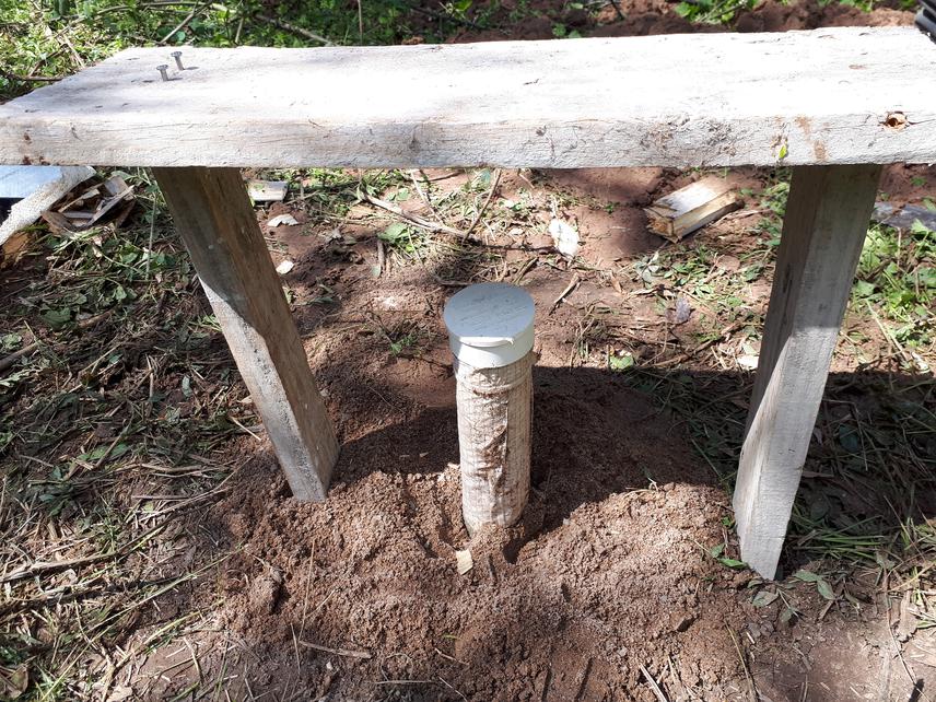
1- We will study key indicators of water fluxes to determine hydrological changes: infiltration, hydraulic conductivity, evapotranspiration, soil water content and water table level. Considering the changes along the transition zones between forest remnants and crops will provide insights into the function of remnants to sustain ecosystem functioning and regulation, mitigating the influence of the surrounding land-use.
2- Salt dynamics will be described, evaluating concentration, depth of ion chloride washing in the soil profile and recharge rate of the water table. This will allow us to identify the risks of a future secondary salinisation when the ground water depth decreases.
3- Land-use changes likely possess temporal and spatial decoupling between actions and effects, and for this reason, changes in groundwater depth and soil salinisation are not considered by decision makers. The importance of this issue is increasingly recognised as local actors (producers) may perceive the goods and services provided by the environment differently to land planners and authorities. This study will aid in filling these critical knowledge gaps about the value of the forest ecosystem services, assessing management preferences, worldviews and perspectives of producers and decision makers in general. The perspectives are intimately related to the agro-ecosystems where the producers live, so a detailed satellite landscape characterisation will help us to understand the motivation of their decisions.