Hari Priya Eswaran
Seagrass meadows of Palk Bay are known as nursery grounds for many commercially important species. High proportions of bycatch landings, including juveniles and protected species, in trawling, can cause severe damage to the habitat. Using participatory GIS (PGIS), we aim to generate spatiotemporal maps indicating the extent of trawling and the abundance of juveniles and threatened species in the fishing grounds of Palk Bay.
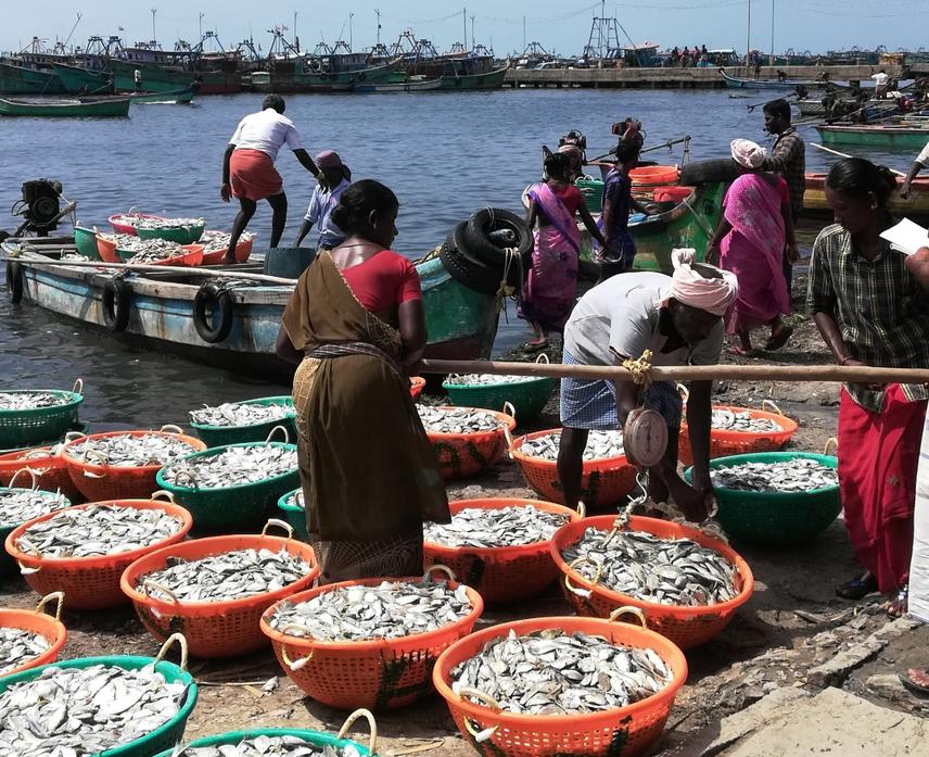
Bycatch landings observed in Kottaipattinam fish landing centre, Palk Bay, India. ©Haripriya/Dakshin Foundation.
Additionally, our study also aims to develop a baseline database on trophic levels and community structure of the habitat, which will be helpful in the long-term monitoring of ecological implications of fishing in the region