Dante Loto
Dry Chaco forest are the most threatened due agriculture in North Argentine. Fires, logging and grazing are common disturbances in Chaco region from the two last century. The Chaco forest recovery patterns have been scarcely studied. We pretend assessment forest recovery patterns in reserves areas, indigenous community’s lands and “puestos” systems into Dry Chaco region. We proposed to re-measure 50 permanent forestry plots established since ten years ago and some new plots. The expected results could improve indicators of land-use effects on structure and dynamics of Chaco forest contributing to conversion priorities.
Currently, native forest areas of Chaco region are mainly managed for silvopastoral systems, with nearby “puestos” where indigenous communities use forestry resources for subsistence and hunting. These forests alterning with some protected areas for conservation. The landscape present different levels of forest degradation, thus we propose monitoring the resilience capacity of forests exposed to different practices of land use. This monitoring pretend to characterize a balance involving woody vegetation productivity against current land use practices in the time. The use of forest permanent plots as the field methodology give opportunities to evaluate productivity values and land use practices effects on forest conservation as indicators and delineate mechanisms to mitigate the impacts on Dry Chaco forests. We will re-measure 50 permanent plots, and establish several new plots in the study area. We will estimate above-ground biomass (AGB) in each sample plot using tree height and diameter at breast height (d.b.h), which will be correlated with satellite information.
We will obtain:
a) woody growth of more than 40 native species of poorly documented trees, b) gain/loss of tree density,
c) fluctuation of accumulated AGB per year,
d) vegetation productivity.
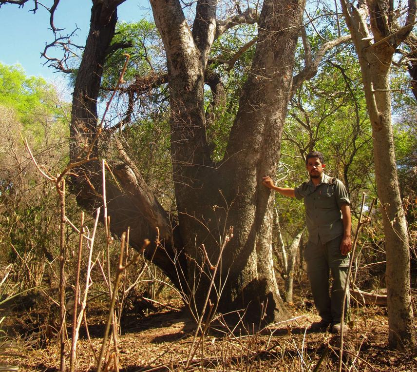
We will plan 60 days in the field for travel to the sampling sites and camp. Chaco climate regime is monzonic with hot and raining summers, and coldest and dry in the winter, so we will realize the fieldwork in winter 2018 Argentine (i.e. July-September), when the environmental conditions are more favorable to work. We plan 5 trips for cover the whole study area. Each trip will last 10-15 days. Sampling sites are very far, thus each trip will include moving from one place to another, to measure the permanent plots, camp, and interview the owners and the communities. We will take advantage of the fact that we have already 50 permanent plots with 2007 information, and marked trees, which allows to track changes on forests and monitoring perturbations at a regional scale. Perturbation methodology is a recent approach in anthropic ecology, and we pretend to contribute to it in an unexplored region.