Sonal Arora
This study is aimed at the habitat characterization of the Galliformes in the North-western Himalaya, using geospatial technologies. They have been least studied in their natural habitats, and their current population status, ecology and behavioural patterns are little known. Thus, this study would attempt to prioritise areas and to provide baseline to guide/help the decision making and planning, for conservation actions. The changes in land use land cover would highlight habitat loss, change in distribution pattern and the shrinkage of suitable habitat over the years. Disturbance regimes will be established using landscape characterization. It would further help in assessment of efforts which are in process, as the gaps in the conservation management would be identified during this study. This study also intends to create public awareness and invoke community participation by involving various stakeholders like school and college students, teachers, trekkers, forest officials, local shepherds and farmers etc.
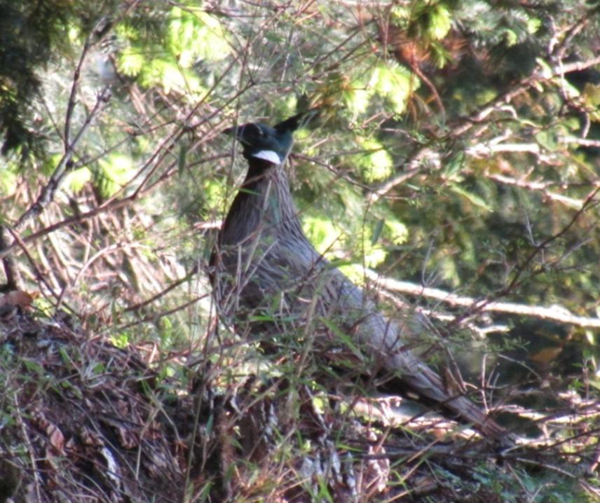
Koklass (Male).
Tons valley, a part of the Western Himalayas (a Biodiversity Hotspot); provides appropriate habitat to the shy Galliformes. Their timidity and habitat preference make them less susceptible to anthropogenic effects as compared to the other more accessible avian species. Yet due to increasing demographic pressure these have not been left untouched by human interventions like hunting and poaching, habitat degradation, deforestation, agricultural expansion/intensification development activities, unsustainable pastoral activities, uncontrolled tourism, lopping for fodder and fuel wood collection, uncontrolled fire, possible climate change, and hydro-electric projects; making them the most threatened of all the birds. Hence, protecting these galliformes together with their habitats is very crucial.
Multi-temporal four time periods LULC map would be prepared using satellite images of years 1980, 1991, 2003, 2015. It would further be used to map fragmentation pattern in the study area. Field work would include call-count for presence/absence data collection and plots of suitable size as per sampling design would be laid for Phytosociological Analysis. Also the stakeholders would be given workshops using charts for the identification of the birds.
Charts would be used to demonstrate the identification of birds, making them aware about the value of biodiversity; ecosystems and the importance of conserving them.
The App may be installed by us on the mobiles of the locals participating. During the workshops, we would help the locals become familiar to the app as well. A pamphlet would also be prepared, which would act as a user guide, to help the users install it themselves and become familiar with it. The forms may be submitted to the village head or a representative, from whom we may collect the forms later.
Questionnaire survey would be carried out to retrieve information regarding several parameters like; Historic range distribution, Incidents of Hunting and Poaching, Fire Signs, Involvement of Government and Non-Government agencies in Conservation, NTFP collection and other seasonal anthropogenic pressures. These questionnaires would be sent to experts from other institutes, NGOs and forest department. Various Parameters like LULC types, shrub cover; DEM, slope and aspect layers; Temperature, rainfall and humidity data; human habitation; Human induced fire; Pastoral Activities; Hunting incidences, which have a profound influence in predicting the habitat distribution of the Galliformes, would be integrated in model to map the potential distribution range of the selected species.