Paul Allin
African savannas are a very rich, diverse biome in flora and fauna, boasting the largest number of extant ungulate and megafaunal species on the planet. There are many protected areas within the savanna biome and census numbers of wildlife forms the basis for many management decisions aiming to optimise conservation efforts. Reliable animal censuses are thus key in the support of good decisions making. The methods for censuses haver remained largely unchanged since the 1970’s and are not only time consuming and costly, but also fraught with error. The extent of counting errors can at times be so large that it hides real change in populations numbers, preventing timely action to stem overpopulation or population demise.
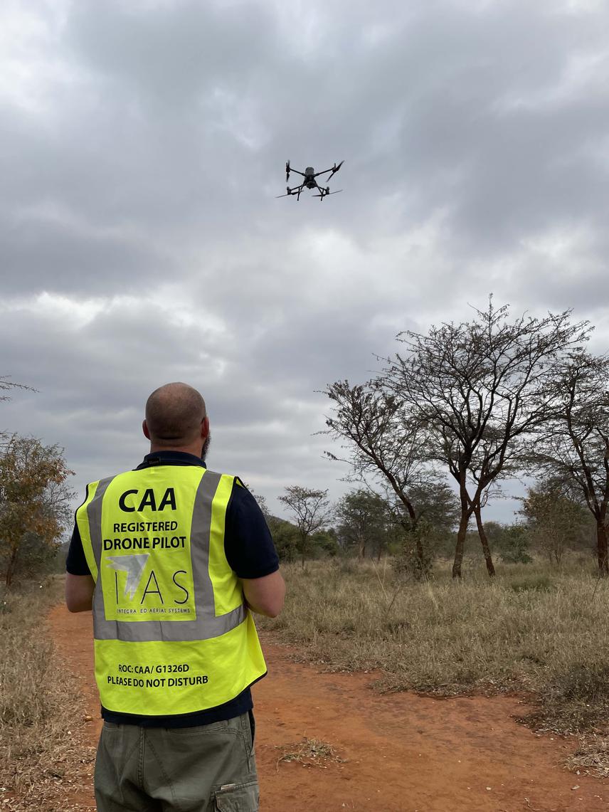
In the last few decades there has been significant development in remote sensing and machine learning. This allows not only vast amounts of data to be recorded but with the aid of machine learning can greatly speed up the time it takes to analyse these data. Furthermore, the advances in machine learning have been shown to outperform humans in numerous instances, especially in detection and counting of objects in imagery. The combination of machine learning applied to remote sensed imagery paves the way to automate the process of animal censuses, increasing the accuracy and precision of the censuses as well as reducing their time and cost. Furthermore, remotely sensed data are able to provide exact locations of all the animals identified enabling occupancy and use modelling on a landscape scale. The combined results of location and reliable population sizes will result in a better understanding of animal space use and the drivers thereof.
This research will combine remote sensed imagery and machine learning in a controlled environment to compare this novel approach accuracy and precision to existing methods with known animal populations during the dry season. Once the accuracy and precision of the new method has been established under dry season conditions typically used for standard aerial censuses, the technique will be repeated during the wet season to evaluate its performance and usefulness across seasons.