Janardan Mainali
The Setikhola watershed includes rural to the urban gradient of Pokhara valley of Nepal and contains the Setikhola River and several lakes. To address increased water pollution and deterioration of biotic integrity of surface water and their effects on biodiversity, I propose to collect and analyse several water quality parameters and drivers of aquatic habitat quality in this watershed. I aim to map the spatial pattern of habitat quality and identify biophysical and socioeconomic factors affecting them by using different spatial statistical models with land use, topography, and population data as predictor variables. I will use both secondary water quality data collected by different organizations and primary data to be collected using a portable water quality analysis kit. I further aim to create a web map portal to present different datasets created during this project to assist in the watershed management effort of local authorities.
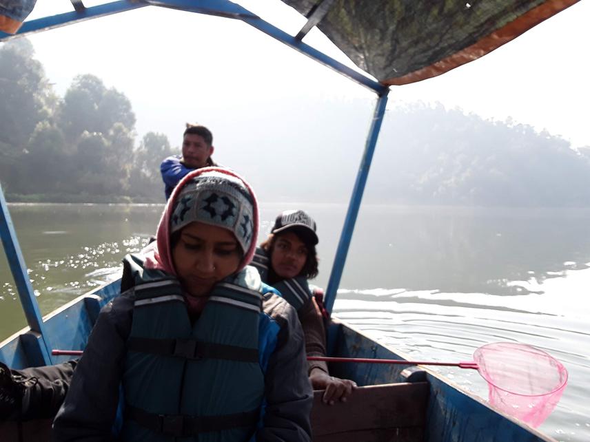
Research team in Begnas Lake.
Pokhara is one of the most beautiful cities in Nepal surrounded by high mountains, with numerous lakes, deep rivers, and rich biodiversity. The lake system of Pokhara valley is recently listed as an important wetland site in the Ramsar List. As the identity of this city is inherently linked with water, it is important to explore chemical, physical, and biological characteristics of the water associated with the biodiversity and livelihood of the people.
The proposed work attempts to identify the current status of habitat quality of the surface water of Setikhola watershed encompassing Pokhara city. Data related to water quality (eg. Temperature, pH, turbidity, conductivity, nitrates, phosphates, etc.) of lakes and rivers of this watershed will be collected from secondary sources and field sampling using a portable water quality test kit. A recent Landsat image will be classified to extract landcover while a digital elevation model will be used to extract elevation, slope, rivers and lakes network. We will also use a gridded population data to extract demographic information. We will use several spatial statistical approaches (eg. spatial autocorrelation, spatial regressions, and spatial stream network model) in identifying regions with high pollution and eutrophication and develop models using land cover, topography, and population as predictor variables. The spatial pattern of different water quality parameters will be mapped and the driver of temporal and spatial change will be identified. This work, therefore, will help in devising appropriate site-specific management plans to check eutrophication and water hyacinth invasion, reduce water pollution, and bolster the habitat conservations efforts in the valley.
This work will also contribute to scholars working in water quality modelling by identifying more accurate approaches to spatial considerations in modelling an urbanizing Himalayan watershed. We also attempt to create a water quality data portal to visualize the habitat quality to be used by local people, tourists, government agencies, and academics. This will contribute to easy and accessible water quality related data that is vital for local livelihood, tourism, and biodiversity conservation efforts.
Header: Team Observing Local Gathering for Community Development at Gunde Lake.