Franciany Gabriella Braga Pereira
Other projects
5 Sep 2016
Hunting and Use of Wild Mammals by Human Communities in a Conservation Area in Angola-The Influence of Environment on Hunters's Niche Breadth
3 Jul 2020
Hunting in the Amazon: Uncovering the Complexity of Subsistence Hunting and Measuring its Sustainability
Decades of armed conflict in Angola have left a legacy of landmines and unexploded ordnance, particularly across the southeastern region. Beyond the visible scars of landmines, warfare triggers a cascade of direct and indirect pressures on animal biodiversity: habitat loss and fragmentation,
disruption of migration routes, collapse of local populations due to opportunistic hunting during conflict, altered fire regimes, and persistent disturbance that reshapes community composition. Despite recent stability, rigorous, spatially explicit evidence on how these legacies structure present day mammal distributions in southeastern savannas is still lacking.
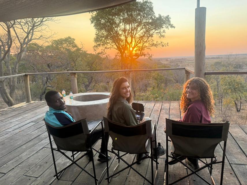
Field team during a monitoring session, southeastern Angola.
This project investigates how the intensity and geography of warfare have shaped current patterns of animal biodiversity across key Angolan savanna ecosystems. We will test explicit, ecological hypotheses linking conflict history to occupancy, relative abundance, behaviour, and habitat use of large- and medium-sized mammals. Using drone-based surveys (including thermal imaging when suitable), we will generate high-resolution detections of focal taxa across contrasting sites. These data will be integrated with spatial layers representing conflict intensity and legacies (e.g., mine contamination, damaged infrastructure, fragmentation proxies), climate and vegetation covariates, and conservation priorities (e.g., KBAs and protected-area boundaries).
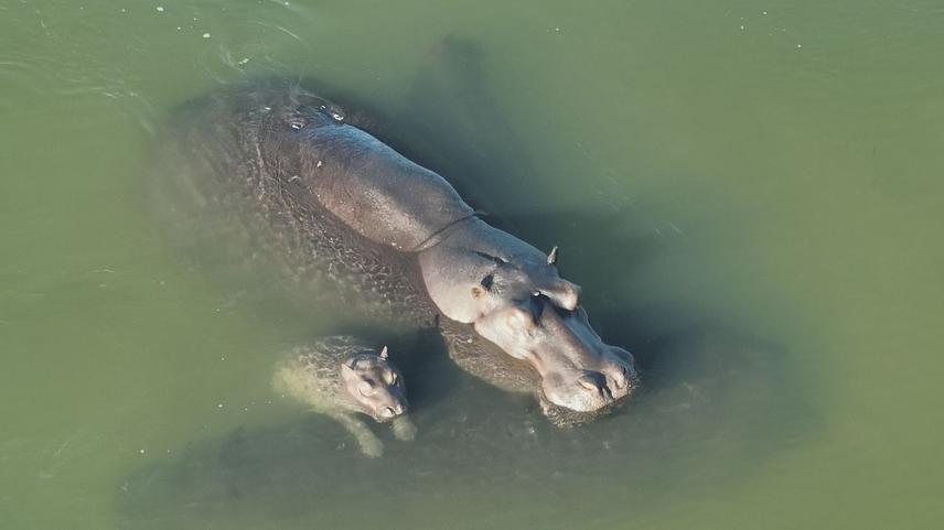
Drone image of adults and calves of Hippopotamus amphibius resting in a river during monitoring activities in Angola. © Franciany Braga Pereira
Analytically, we will combine occupancy and abundance models with landscape-resistance and community-level approaches to quantify (i) the effect sizes of conflict history on species occurrence and assemblage structure; (ii) thresholds at which conflict legacies begin to depress detections; and (iii) the extent to which minefields act as barriers relative to other war-related pressures. The drone workflow is explicitly designed to be non-invasive, repeatable, and scalable, enabling robust comparisons among mined, previously cleared, and minimally affected areas.
Expected outputs include:
(1) a harmonised, geo-referenced dataset of wildlife detections suitable for replication and long-term trend analysis;
(2) quantitative maps identifying conflict-legacy hotspots where biodiversity is most depressed or resilient; and
(3) prioritisation guidance for conservation actions that accelerate ecological recovery.
By centring rigorous animal monitoring and causal inference on conflict legacies, this project fills a critical evidence gap and establishes a reproducible framework for post-conflict biodiversity science in Angola and comparable regions.