Dawa Yoezer
Land use change dominated by agriculture is one of the main drivers responsible for wetland loss, habitat degradation, and water pollution that impacts sensitive species worldwide. This study focuses on understanding water quality under different land use types in the Gangtey-Phobiji wetland in Bhutan, a Ramsar-listed wetland important for the vulnerable black-necked crane (Grus nigricollis). Physical-chemical and nutrient content of water samples from dominant land use types will be assessed to determine plausible impact on wetland habitat. It will provide important information on land use and wetland habitat quality to guide policy on conservation and wise use of the wetland.
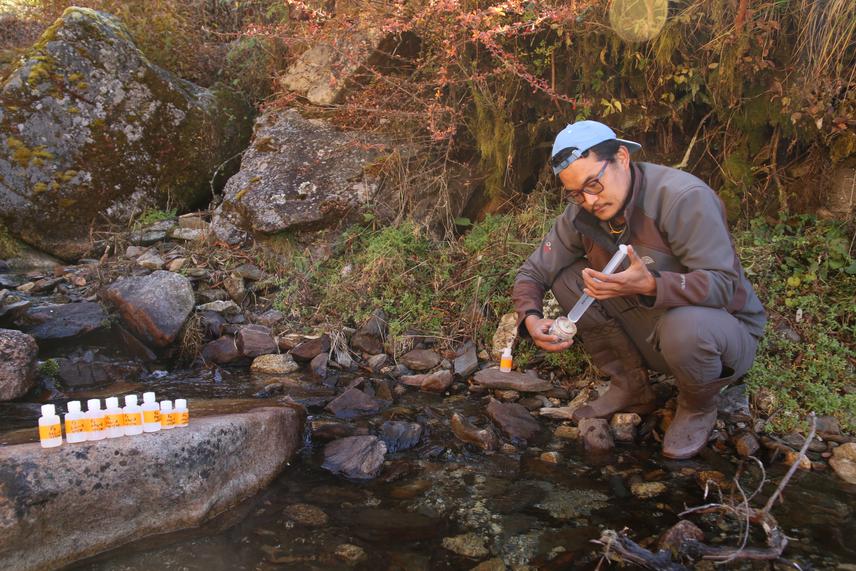
Water sample collection for nutrient analysis
The Gangey-Phobji wetland was declared as Ramsar site in 2014 for having high biological diversity, particularly for its flagship species, the black-necked crane (BNC), Grus nigricollis. The BNC is listed as “vulnerable” under the IUCN Red List, and the Gangtey-Phobji wetland is its largest wintering habitat in Bhutan. The wetland provides as many as 24 key ecosystem services, and about 80 % of 3600 people directly depends on these services (Chaudhary et al. 2017). Agriculture and livestock farming comprise the main sources (97%) of livelihoods (RSPN 2007). Yeshey et al. (2013) reported commercial potato production with intensive use of NPK fertilizer (95:70:45 kg/acre) which is much higher than the national recommended rate of 40:32:32 kg/acre.
Forest forms about 62 % of the land use of the wetland catchment. However, over the last 32 years, wetland area declined by 7 %, as opposed to agriculture and settlement area which has increased by 30 % and 100 %, respectively (Chaudhary et al. 2017). Current information on the wetland is limited to biodiversity, land use change and perception research. No studies are undertaken to establish linkages between land use, water quality and the wetland ecosystem.
This study will highlight the importance of a landscape approach to wetland conservation and guide the management of the wetland. It will provide important insights on current knowledge gaps on land use, water quality and wetland biodiversity. The study will present water quality in relation to corresponding dominant land use types. Focus of the study will be on determining how conversion of natural vegetation to agriculture impacts on water quality and wetland habitat. Land use will be assessed using GIS and RS techniques. Basic physical-chemical water quality parameters will be recorded onsite representing dominant land use types and nutrient content of samples will be analysed in laboratory. The current fertilizer intensive agriculture farming might jeopardize other important ecosystem services like drinking water and ecotourism, which is mainly driven by the presence of black-necked cranes (BNC). Therefore, evidence from this study will guide proper management of the wetland taking into account conservation importance and long-term socio-economic benefits.