Cameron James Goodhead
Bornean orangutans are critically endangered. The current standard method for surveying populations of orangutans involves surveying their sleeping ‘nests’ on foot and is inefficient, highly resource-intensive, and time-consuming.
This project aims to;
• Develop and evaluate two alternative survey methods using drones, providing a comprehensive assessment of their suitability and effectiveness as potential replacements for the current standard survey method.
• Devise best practice guidelines for these methods.
• Provide an up-to-date quantification of the population of orangutans in two areas; the Sebangau National Park and the forest in the catchment of the Rungan and Kahayan river landscapes.
• Analyse and compare the population estimates provided by the new methods to previous estimates to determine trends.
• Use the data to advise the direction of future conservation practice in the region and determine key areas to focus these efforts on.
• Detect and assess orangutan populations in previously un-surveyed areas, allowing for their future protection.
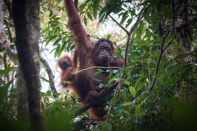
The Bornean orangutan has recently been classified by the IUCN as a critically endangered species, as a result of dramatic population declines across the past century. Understanding the population distributions and trends of wild Bornean orangutans is vital for the development of effective conservation schemes. As orangutans live at low densities and are therefore difficult to survey using direct counts, the standard method for surveying wild populations involves using ground surveys to count the number of orangutan ‘nests’, which are built daily for sleeping in. These nest counts can provide a proxy from which population densities can be estimated. However, these surveys take a considerable amount of time and resources, and are limited to easily accessible areas, which can often result in ineffective collection of population data.
New methods involving the use of drones have the potential to dramatically increase the ease, speed, and cost-effectiveness of population surveys. In this project, we will be testing and developing two drone methods for surveying orangutans; using drones with normal cameras to spot nests aerially, and using drones with thermal cameras to spot individual orangutans in the canopy at night.
The use of this technology to detect orangutans and their nests has previously been trialled in preliminary studies, which have indicated that they have large potential as survey methods (Burke et al. 2019, Wich et al. 2015). We will build upon these previous studies and focus on determining the accuracy of the data collected using these survey methods, the feasibility of using drones for conducting population assessments across a variety of habitats, and the optimal flight methods for replicating the surveys.
After we have completed testing, we will use the developed methods to survey orangutan populations in our study areas, including previously un-surveyed areas in Central Kalimantan, and use the data collected to inform future conservation decisions in the area. This is particularly important for one of our research sites, the landscape of the Rungan and Kahayan river catchments, as it is an unprotected area of forest that is threatened with deforestation.