Bismay Ranjan Tripathy
This project aims to:
(1) document consequences of HEC in Keonjhar District.
(2) assess HEC intensity in the forest ranges of this district since 2001.
(3) derive the temporal annual trends of conflicts and statistically analyse the season of maximum conflict occurrence.
(4) derive the significant spatial pattern of conflict and mapping the sensitive zone, which are exposed to potential HEC.
(5) establish community-based mitigation management by studying socio-economic status of villagers (especially farmers).
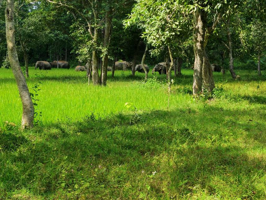
Human-elephant conflict (HEC) poses a significant threat to elephant’s continued existence. In this conflict, both has to pay terrible price. Elephants cause damage amounting from a few thousand dollars to millions of dollars every year in India. Annually, on an average 100-300 humans and 70-80 elephants are killed during the deadly interaction in India. Keonjhar, Dhenkanal, and Sundergarh (Districts of Odisha) has reached to vulnerable level. According to Divisional Forest Office of Keonjhar, shift in the agriculture along the forest-side villages, extensive chopping down of trees, unplanned mining activities and smell of the local brew attract the elephants more to human habitation in search of food and water in this district. Therefore, HEC in Keonjhar District has reached to alarming stage, which has resulted to human death, human injury, house damage and vitally cropland damage by the elephant. Elephants are also competing for various reasons including diseases, starvation, electrocution, road and train mishaps. Human-elephant issues are most challenging task due to lacking in major understanding of social status and ecological factors driving these clashes. While studies have been conducted to mitigate the human-elephant issue in India, fewer have intended to understand the spread of conflict intensity at a temporal scale. Determining significant spatial patterns of such conflict incidences, is key to understanding the mechanisms that drives the conflict intensely at some particular areas.
Therefore, this project aims to:
(1) document consequences of HEC
(2) assess HEC intensity in all the forest ranges in Keonjhar District since 2001
(3) derive the temporal annual trends of conflicts and statistically analyse the season of maximum conflict occurrence
(4) derive the significant spatial pattern of conflict and mapping the sensitive zone at local scale, which are exposed to potential HEC
(5) establish community-based mitigation management by studying socio-economic status of villagers (especially farmers).
The scarcity of data is acting as barrier in improved management and mitigation of conflict. Thus, the comprehension of the past and current scenario of HEC in Keonjhar District will provide the baseline data for future research. Spatial analysis of HEC will help to develop mitigation strategies to focus their efforts and resources on villages which are most threatened by conflict. With this study we can come up with advanced pattern to envisage the HEC and way out to it based on the socio-economic status and perception of people towards the conflict.