Ahmed Mohammed Abachebsa
The project, “A Spatiotemporal Analysis of Poaching Patterns and Human-Elephant Interactions in Babile Elephant Sanctuary, Eastern Ethiopia,” aims to generate actionable insights into the dynamics of elephant poaching and its links to human activities across key elephant landscapes. Poaching continues to pose a severe threat to elephant populations, undermining conservation gains and biodiversity stability. Simultaneously, growing human-elephant conflicts, driven by habitat fragmentation, agricultural expansion, and resource competition, have intensified pressures on both communities and wildlife. This project seeks to address these intertwined challenges through advanced spatial and temporal analysis, data integration, and community engagement.
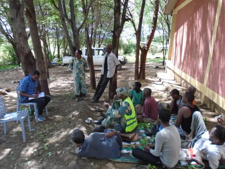
Discussing human-elephant interactions and conservation priorities with rangers and local community representatives. © Ahmed M. Abachebsa
The first objective is to identify hotspot areas and high-risk zones for poaching in the sanctuary. Using Geographic Information Systems (GIS) and remote sensing technologies, the project will map spatial patterns of illegal killings and overlay them with data on land use, human settlements, and environmental variables. This will enable the identification of spatial “hotspots” where poaching risk is highest, thereby supporting targeted anti-poaching patrols and conservation interventions.
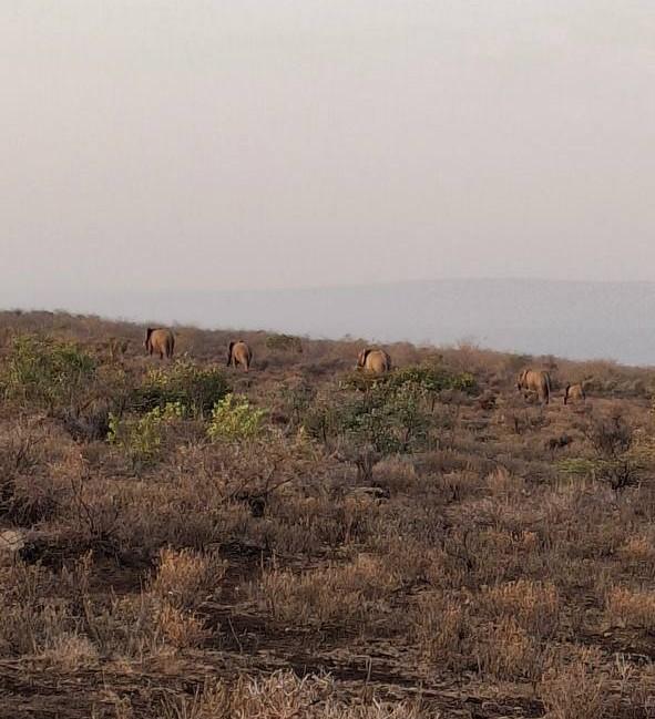
Photos taken during field observation of the elephant population, with rangers guiding the visit within the sanctuary. © Rangers Team
Secondly, the project aims to understand peak poaching seasons and temporal trends. By analysing multi-year datasets on poaching incidents and elephant movements, the study will identify temporal peaks and cyclical patterns, such as links to climatic seasons, agricultural cycles, or socio-economic events. These insights will help conservation authorities anticipate high-risk periods and allocate resources more effectively throughout the year.
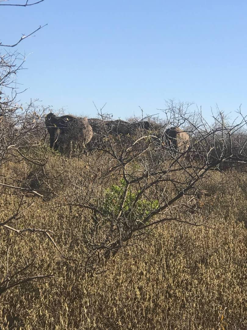
Photos taken during field observation of the elephant population, with rangers guiding the visit within the sanctuary. © Rangers Team
A third key aim is to gain a greater understanding of the causes of poaching and human-elephant interactions. Through a combination of spatial modelling and field-based socio-economic surveys, the project will explore the underlying drivers of illegal activity, ranging from poverty and market incentives to land-use pressures and governance challenges. Understanding these root causes will inform integrated strategies that balance ecological sustainability with local livelihoods.
Finally, the project also aims to increase awareness among local communities and stakeholders. Engagement workshops and knowledge-sharing sessions will be conducted to strengthen local capacity for wildlife monitoring, encourage community stewardship, and foster coexistence between people and elephants.
By integrating spatial science with community-based conservation, this project will deliver robust evidence to guide decision-making, enhance early-warning systems, and promote data-driven strategies that safeguard both elephant populations and the well-being of the people who live alongside them.