Adrian Dwiputra
Major habitat types in seasonally dry tropical forest landscapes have been exposed to the risk of land use/cover change (LUCC) for decades. If left uncontrolled, natural and land resource exploitation leads to habitat loss, degradation, or fragmentation and poses threats to biodiversity. However, a key element for more sustainable management of the seasonally dry tropical forest landscape, a habitat monitoring instrument, is yet to be established in Siem Reap and Preah Vihear province, Cambodia.
This project comprises two major components addressing the knowledge gap that has hindered the continuous monitoring of the biodiverse landscape. First, the project provides updated baseline information that depicts the most recent distribution of the natural habitats in the landscape in Siem Reap and Preah Vihear province, Cambodia. In the second component, we focus on the provision of learning materials accessible to the local stakeholders. We will provide essential information and skills to establish continuous habitat monitoring in the seasonally dry tropical forest landscape of Siem Reap and Preah Vihear.
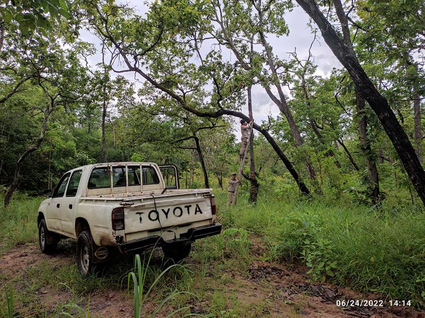
Installation of a trail camera to detect poachers in the deciduous forest. Despite regular patrol by military staffs, illegal harvesting of native trees’ timber is prevalent in the area.
We harness freely accessible platforms and data to develop a land use/cover change monitoring tool. We will develop time-series land cover maps using the classification of remote sensing images acquired by satellites. Reference data collected from the field are used in the satellite image interpretation. After validating our land cover maps, we develop a land cover change model based on the time-series maps. The resulting model shall reveal the pattern of land cover change based on changes in the past and calculate the probability and rate of change accordingly. The projection will depict the likely future state of the landscape under the "business as usual" scenario, in which the pattern and rate of land cover change are assumed to mimic the past trend.
A habitat connectivity analysis will provide important information to manage the multi-functional landscape. Our results will reveal the dynamics of the structural connectivity across the major habitat types found in the landscape. The land cover change model helps identify the major drivers of habitat fragmentation in the landscape. We will also conduct a camera trap survey at select corridor areas that provide a structural connection between habitat patches. The camera survey improves our understanding of the link between the structural and functional connectivity of the habitats in the landscape.
At the end of the project, we will share all key findings and relevant technical skills to carry out habitat monitoring in the landscape with the local stakeholders. This one-year project will contribute to achieving more sustainable habitat management by providing baseline information and instruments that allow local stakeholders to continue the monitoring effort independently even after the project ends.
Header: Reconnaissance survey using Unmanned Aerial Vehicle (UAV) to cover more area efficiently.