Alicia Follosco
This project aims to assist the communities of Chananaw and Tulgao in mapping their domain and in the inventory of resources within their territories.
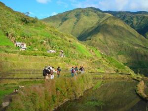
Ocular survey.
The municipalities of Tinglayan, Lubuagan and Pasil in Kalinga, Northern Philippines are being targeted for geothermal exploration and geothermal energy production. The proposed site will cover 26,147 hectares and will affect 27 barangays comprising 10 ancestral domains (NCIP, 2006).
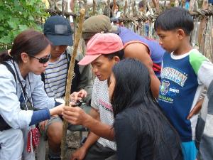
Brunton Compass lesson with guides.
Two of these communities, Chananaw and Tulgao, are seeking assistance for a mapping and inventory of resources within their territories. Mapping the area and a systematic inventory of community resources will provide the people with useful information so that they know exactly what is at stake when making decisions about the proposed geothermal plant and other future modernization projects that might be introduced in the area. The proposed site for the drilling operations in Tinglayan covers 400 hectares of communal forests and is located directly above the people’s swidden farms, rice fields and settlement areas. These communal forests have been conserved and protected over time since they provide the vital water resources to sustain rice production and other subsistence livelihood activities of the local communities.
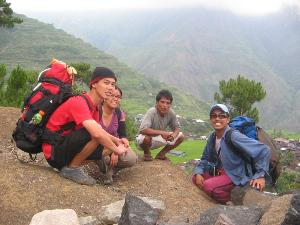
Some team members resting during trek back to the settlement.
With documented information in their hands, it is assumed that the communities can better negotiate and reach decisions in relation to proposed projects that are favourable to local welfare. The strategic objective of this project therefore is to enhance people’s governance capacities over critical natural resources. The participatory methodologies of this project will increase local capacity for research as local people adjust to new ways, e.g. the free prior and informed consent (FPIC) process under the Indigenous Peoples Rights Act, of protecting their resources.
At the outset, a group of locally-identified community members will be involved in mapping and database creation with the aid of GIS tools. Copies of the data base will eventually be stationed in the municipalities of Chananaw and Tulgao and the information is expected to be used for decision making on future development projects. The local government is expected to continue updating the database for its use and the communities at large.