Sergej Kolesnikov
This project focuses on creation of maps reflecting the current structure of steppe vegetation in the Donetsk region of Ukraine, and on investigation of steppe vegetation dynamics during last 30 years, by using of remote sensing data and field research results.
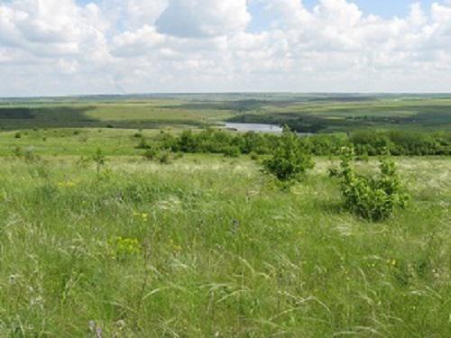
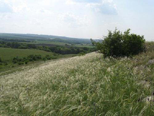
Donetsk Region of Ukraine is the industrial region where the level of human impact on natural ecosystems is one of the strongest in Ukraine. Therefore, vegetative and soil cover of the landscape feels a strong anthropogenic impact. Despite this, there are many fragments of virgin steppe, which are the habitat for populations of rare species of plants and animals. Thus, the problem of identification and preservation of such areas is very relevant here.
In this project we plan to develop a methodology for mapping steppe vegetation associations by using satellite data to obtain information about changes in the spatial structure of the steppe plant communities in the period from 1984 up to date. This information will be used to find areas where steppe vegetation can recover naturally or by artificial introductions. The collected field data and species lists will help to get a holistic information and to summarize the results of this work.
During the project implementation, we plan:
- to create database of geobotanical descriptions of steppe communities in Donetsk region;
- to develop procedures for mapping the steppe vegetation associations using satellite data and involving outcomes of geobotanical research;
- to create maps of the spatial distribution of steppe plant communities;
- to reveal territories with degraded (where restoration measures are required) and restored vegetation (which shall be preserved), as well as steppe vegetation areas that had not been studied previously and are not included into nature reserves.
It will be possible to use the developed approaches in the environmental, agricultural and other organizations in assessing the ecological status of steppe landscapes (species diversity, phytomass, role of anthropogenic factors in the ecosystems, etc.) and in the development of projects for the creation of new protected areas and recreational centres. The developed map of the spatial distribution of steppe plant communities can be used as a basis for the development of nature trails in the environmental objects and during development of regional and national ecological network.