Morgan Pfeiffer
Other projects
17 Nov 2014
Ranging Behavior of Cape Vultures (Gyps coprotheres): Implications for Wind Turbine Placement, Eastern Cape Province, South Africa
This study will be a continuation of previous work done by our team. Due to the Cape Vulture’s potential vulnerability to wind energy development, a South African-wide risk map is needed to help guide future wind energy development. Our current model will be expanded to cover the whole distribution range in South Africa. We will then validate the risk model with field experiments to increase confidence in its output. We will run a population viability analysis incorporating the new information. The risk map will then be incorporated into conservation guidelines and policy.
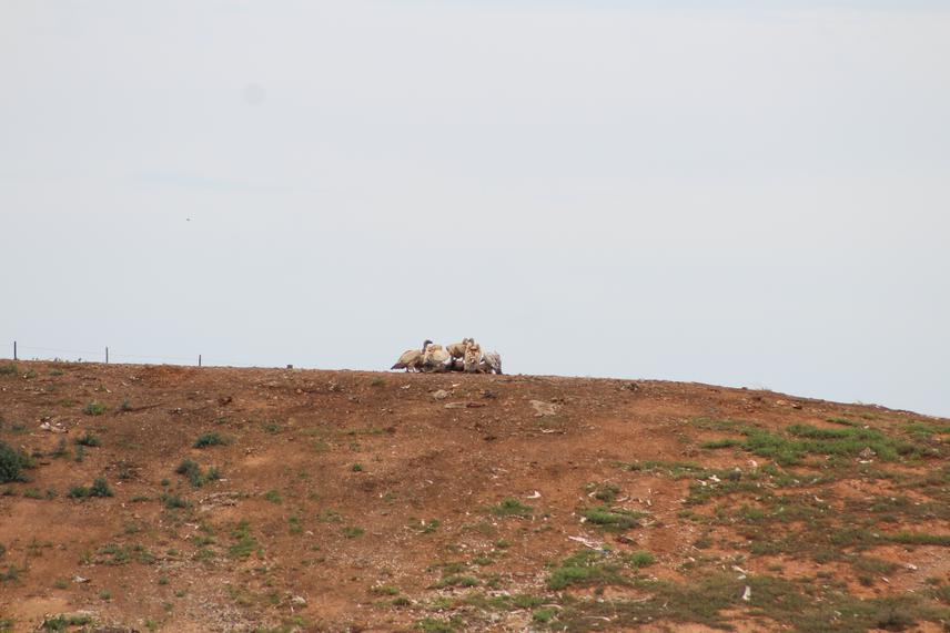
Locations recorded from GPS transmitters fitted on vultures will be used to identify roost sites. Two predictive models will be created; 1) a species distribution model to determine the probability of use of the study area and 2) a distribution model to estimate the probability of vultures flying at wind turbine height.
To validate the outputs of the model e.g. to test whether high risk in the model is equal to high mortality rate we will monitor actual flight paths using either radar surveys or fixed point observational studies. This would allow the mapping of flight paths and recording of the rate of bird flights through a predetermined study area (24 study sites), each covering a surface area of 40 ha, divided into grid cells. The study areas would consist of different combinations of features (linked to the risk model outputs). This would include areas identified through the risk model as high risk versus low risk, close to and far away from colonies and roosts, and within rugged areas versus more level areas. Bird flight paths (over individual grid cells), flight speed, entry and exit points in the predetermined grid will be recorded thorough visual as well as video recordings. A digital terrain model will be created for each study site using a DJI Phantom 4 Advanced: Select Phantom 4 Pro Drone and Pix4D Software. Wind direction and speed would allow us to simulate turbine behaviour. This data could then be used to determine flight paths and the probability of a bird collision at an individual wind turbine scale by calculating how much time the turbine blades spent in a moving vulture’s space while passing through each hypothetical turbine blade reach area. This data will be used to calculate potential mortality rate (dead birds per year) per grid cell. The output will be used to validate the risk models performance and if needed the risk model could then be calibrated.
To run the population viability assessment model we will combine the wind turbine mortality estimates with other data. We will test specific mitigation measures related to wind energy infrastructure, such as the placement of turbines in “safer positions”, removal of carcasses and their potential effect on bird mortalities using field experiments. The model outcomes will be used to draw up recommendations for more effective conservation interventions/measures and to guide industry to be vulture friendly.