Maja Novković
Wetlands with natural hydrological regime along the Danube River in Serbia were recognised as sites of high conservation importance at national and European level. Due to time and cost consuming of fieldwork, freshwater habitats in these wetlands were neglected in the routine monitoring programs. By focusing the detailed monitoring actions on pre-selected freshwater patches, available conservation funds may be oriented in the most effective way. The aim of this project is to develop UAV (Unmanned Aerial Vehicle) assisted, cost-effective and non-invasive multimeric system for detection of freshwater patches of high conservation value within the Danube floodplain landscape in Serbia.
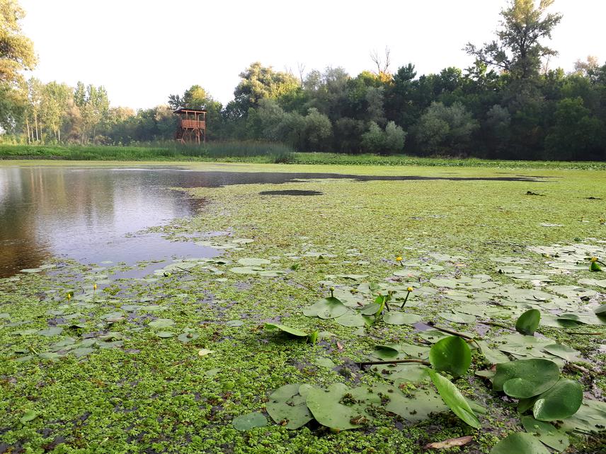
Fluvial lake in SNR Koviljsko-Petrovaradinski rit.
The Danube river extensive flooded areas in Serbia are recognised as sites of high conservation value and importance at the national and international level. However, due to time and cost consuming of fieldwork, freshwater habitats in these wetlands lack the routine monitoring program. In recent years UAV systems offer a less invasive, non-hazardous, cost effective, repetitive and reliable monitoring technique to determine species and habitats abundance and distribution.
The aim of this project is to develop UAV (Unmanned Aerial Vehicle) assisted, cost-effective and non-invasive multimeric system for detection of freshwater patches of high conservation value within the Danube floodplain landscape in Serbia. The multimeric system will be based on the landscape, hydromorphological and habitat variables obtainable by UAV, such as pond/lake surface, lateral connectivity, presence of overhanging vegetation, presence and surface of freshwater habitat types according to Habitat Directive, Council Directive – 92/43/EEC, Convention on the Conservation of European Wildlife and Natural Habitats (Bern, 19/09/1979) and National Habitat Classification (Official Gazette of RS, no. 35/2010). The multimeric system should enable stakeholders to recognise sites with high biodiversity conservation value from orthomosaics. Therefore, it will consider only habitat variables which show good correlation with ponds/lakes conservation indices scored using the macrophytes and macroinvertebrates data (Species Quality Score -SQS, Species Rarity Index -SRI, System Aqua, Dragonfly Biotic Index -DBI). The system will allow stakeholders to revise distribution map of protected areas and to priorities freshwater habitat conservation targets in the most cost-effective way.
The key project activities are:
i) fieldwork and data collecting;
ii) data processing and development of UMS multimeric system;
iii) project results dissemination;
iv) UMS training for stakeholders.
The project activities will begin in August 2019 with extensive fieldwork. The fieldwork will be conducted during the summer months in 2019 and 2020. Data for development of multimetric system will be collected in 2019 (August-October) in 20 freshwater patches (ponds/ fluvial lakes), while the system presentation will be performed on the field in 2020, using the new dataset (additional 3 freshwater patches). The main goals of the project dissemination will be to promote the project outputs and outcomes at local, national and European level, as well as to transfer the knowledge/ skills in using the UMS tool to the stakeholders of different wetland areas in the Danube Basin.