Chrispine Ngessah Odhiambo
The aim of the project is to establish baseline information on effects of land use changes on bird community structure at different mountain vegetation zones determined by elevation against those subjected change in land use. This is to help promote their conservation and provide information useful to advice forest conservation and rehabilitation.
Birds play numerous ecological roles, while their population structure change significantly across environmental gradient. Human population in Kenya is concentrated in areas with sufficient precipitation. Lack of a national land use policy and planning has led to remarkable land use changes over the years. These changes have led to fragmentation of habitat and disruption of natural processes.
Mt Elgon ecosystem has experienced significant degradation and indigenous plant species have significantly been replaced with exotic plantations and farmlands. The effects of these changes in land use and habitat degradation are so far un/under studied, therefore very little is information is available. Relevant scientific information is needed for management action, planning and to provide baseline information for future comparisons.
Specific objectives will be to assess avifaunal community structure at different vegetation zones, to determine variations in plant community along elevation gradient and to establish variations in avian community structure with respect to changes in land use systems in comparison to the different mountain vegetation zones.
The study will be conducted on the Eastern (Kenyan) part of Mt Elgon Ecosystem 470 km west of Nairobi within protected areas of Mt Elgon National Park (Kenya), Mt Elgon Forest Reserve, Chepkitale National Reserve, where mean annual rainfall over 1,270mm. It is surrounded by over 2million people (Laman et al., 2001) and has over 240 different species of birds including the globally threatened; restricted-range Sharpe’s long claw. It is also home of a number endemic and endangered mammals reptiles and amphibians.
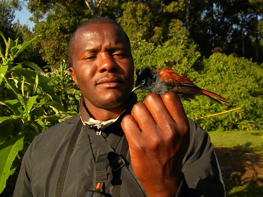
Study area will be divided into two (2) base transects and minor transects of 1000 meters created randomly. 5 sampling stations shall be established at an interval of 200m for ornithological observations using a mix of point counts, mist netting and flash-out method. Vegetation assessment will be conducted along a line transect at 200m interval for 1000m using Point Centred Quarter (PCQ) Method.
Vegetation classification will done using geo-spatial analysis and avian distribution mapped. Avian diversity shall be determined using Shannon¬-Wiener diversity index. One way ANOVA performed to statistically determine variations at P≤0.05. The relationships will be determined using simple linear regression at P≤0.05. Geospatial data will be analyzed using spatial analyst tool in Arc GIS 10.0 Vegetation parameters will be calculated and variations established statistically using one way Analysis of Variance (ANOVA) at P≤0.05.
Study is expected to generate data and findings that inform management decision making. This will also come as a capacity building exercise for the local CBO and 1 field assistant who shall be trained on field data collection methods and bird identification. Other expected outputs are publications, posters and other information dissemination materials.