Nestor Ignacio Gasparri
Other projects
9 Jul 2009
Indigenus Lands Assessment for a Regional Conservation Plan of Dry Forest in West Formosa, Argentina
There are 23 million hectares of Chaco forest in Argentina , including different tree cover situations and under strong pressure by cattle range and logging. This project aims to assess the tree cover and biomass density of different sites to identify potential new sites for protected areas.
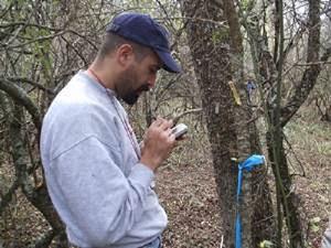
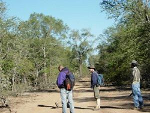
Field work.
There are 23 million hectares of Chaco forest in Argentina , including different tree cover situations and under strong pressure by cattle range and logging. In Argentina new protected areas are needed because only 4% of Chaco is under some conservation status. Tree cover decline with cattle range and logging, and this variable has strong influence on diversity, providing quality habitat. In consequence, tree cover (biomass) is a good indicator of degradation and mapping this variable is a reliable approach to detect sites of high conservation quality. Due to the spatial extent of the area, methods for biomass and vegetation mapping from remote sensing are a useful tool for detection and monitoring of potential new sites for protected areas in the Argentinean Chaco forest.
This project will generate two useful tools for conservation planning:
A) tree cover and biomass maps, based on and a satellite monitoring approach;
B) a permanent plot network, for field monitoring.
Over an area of 145,000 km2, I will use satellite images and GIS to make a preliminary current map. This will be used to pre-stratify vegetation sampling. Vegetation will be sampled in 40 units according to a pre-stratified design. The sample unit will be a cluster of four circular plot of 1000 m2; each located at a corner of a 100 m side square where all trees will be measured, mapped, identified, and permanently marked. Non-tree woody vegetation will be measured in smaller plots. This data will be used to describe regional vegetation patterns and to explore the consequences of non-agriculture land uses (grazing, firewood extraction) on vegetation. For tree cover mapping, I will fit a correlation model between remote sensing and vegetation sampling data using traditional statistic methods. Also, I will test neural networking methods for the fitted functions. Definitive map will be validated with independent field data.
At the moment I already have preliminary maps to planning the pre-stratify vegetation sampling. I have identified, by visual interpretation, cattle breeding (puestos) in forested areas and applied a buffer operation to make a "distance from puesto" map. This map was validated with field verification. As result of this analysis I found that almost the 50% of forest area is under grazing pressure. Future task will be focus in vegetation sampling and tree cover map. At the institutional level, we are exploring the way to integrate the vegetation sampling of this project into a regional monitoring scale, together with federal government and several institutions of the area.