Nabin Bhattarai
This project will contribute in declaring the Leopard prone areas and addressing the conservation measures proposed by partial surveys and by Department of National Park and Wildlife Conservation (DNPWC)/IUCN.
Among 97, 13,702 population of Central development region 38, 49,011 people live in Bagmati Zone and the project area falls under this zone (CBS, 2012). Kathmandu being the capital city, human pressure is very high and the city has been surrounding by the patches of forest and one of the important protected area.
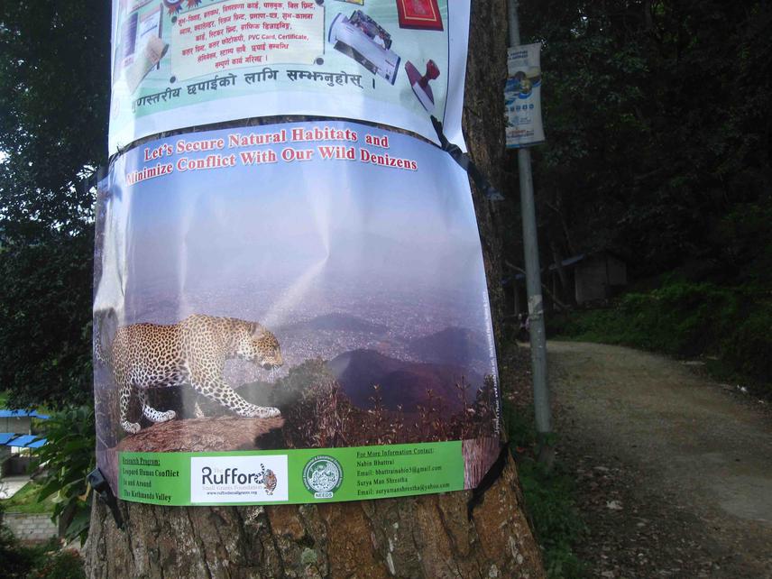
Poster in public place.
This project developed due to news about the Leopard attacks in different villages in and around the valley through newspaper and people since few years. This will help to come with some conservation measures for responsibilities. After the research project robust information on conflict areas, human live losses, economic losses and Leopard life loss will be obtainable. Persisting conservation threats will be well assessed. Conservation awareness activities and self-defending techniques will run among the local communities, school students and relevant organizations to address the threats and preventive measures.
To achieve all above outcomes Camera trap technique and Patch occupancy (Indirect Sign Surveys) will be conducted to find out the abundance and distribution pattern of Leopard. Presence, absence of wild animals will be recorded based on direct and indirect evidences during these walks. A structured questionnaire survey and focus group discussion with local communities will be undertaken to ascertain the people’s attitude and level of knowledge towards the Wild animals and human leopard conflicts. Educational materials like brochures, posters and displays will be developed with relevant conservation messages. SPSS will be used to compare, relate, and will be presented in different statistical forms. ArcGIS 9.3 will be used to find the forest cover change in 16 years i.e. from 1994 to 2010 and also for mapping of conflict prone areas and wildlife signs.