Sebastián Aguiar
The aim of this project is to map the degree and extent of forest degradation in Northern Argentina Dry Chaco. For this we will capitalize on remote sensing methodologies and field work.
In pace with increasing global population and per capita income, Chaco ecoregion ecosystems are being targeted as potential commodity providers. Indeed, Northern Argentina dry Chaco is one of the ecoregions with the highest deforestation rates in the world due to crop and pastureland expansion. The conservation of this ecoregion in Argentina is a global priority, since less than 3 % of its area is protected. In addition, degradation is frequent among remnant forest due to extensive cattle ranching and logging. Despite this impressive situation, there are surprisingly few reports on the degree and extent of forest degradation. Given the importance of Chaco's ecosystems to the subsistence of vegetation, animal and human population, a regional scale assessment based on scientific data generated from available and standardized methodologies is overdue.
The aim of this project is to map the degree and extent of forest degradation in Northern Argentina Dry Chaco. For this we will capitalize on remote sensing methodologies and field work to describe key structural and functional attributes of vegetation. So, the most important outcome of this project will be the identification of potential conservation areas for Chaco dry forests.
The main objective of this project will be accomplished by means of the following activities. First, we will calibrate the CLASlite methodology for seasonally dry forests. CLASlite is aimed at the characterization of deforestation and degradation based on spectral information from high resolution satellite imagery. Second, we will characterize the actual structural condition of remnant forests through remote sensing (i.e. RADAR imagery) and field work (transects for describing species composition). Through the spatial characterization of degradation made with CLASlite and radar, in combination with GIS tools, we will determine the extent of forest degradation and define potential conservation areas. Potential conservation areas will be selected based on functional and structural attributes of remnant forests, and also on landscape attributes such as size and connectivity of forest patches.
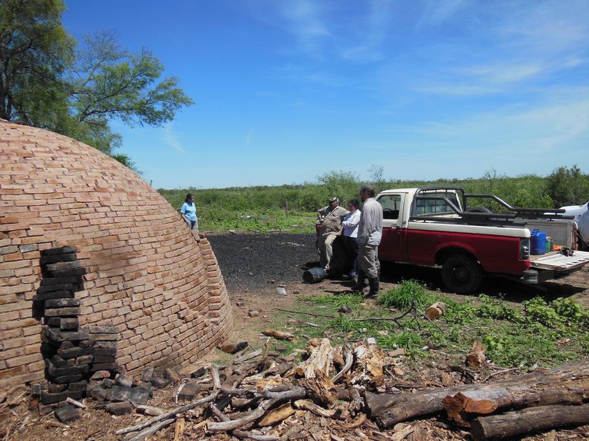
Finally, through two workshops we seek to engage local stakeholders (e.g. NGO’s, policy makers) in this project. The first workshop is for describing the objectives of the project with the hope of promoting citizen science through the participation of different stakeholders in the surveys and fieldwork. The second workshop is for result divulgation and participatory determination of future projects.