Niyati S. Patel
Using field data and landscape/GIS analysis I plan to identify drivers and patterns of crop depredation, major conflict areas and prepare risk map, as well as train local farmers in reducing crop loss. This will ultimately assist the policy makers in making landscape –level conservation strategy for Indian wild ass and managing similar issues elsewhere in Gujarat.
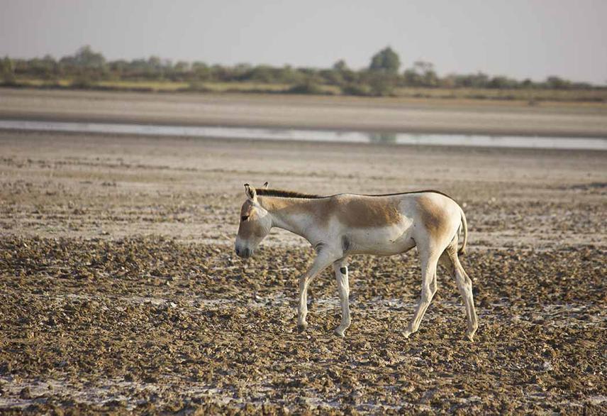
An Indian wild ass in Little Rann of Kutch of Gujarat.
Problems associated with locally overabundant wildlife species have emerged as an important management issues in Gujarat. Farmers residing around Wild Ass Sanctuary (WAS) are reporting severe crop depredation and the species involved is none other than the endangered one Indian wild ass (IWA) Equus hemionus khur. IWA is restricted to the Little Rann of Kutch (LRK) landscape only. With better protection, their numbers have increased locally. This increased in population and good forage (crops) outside protected area has led them to move out in the adjacent agro-pastoral landscape resulting into crop depredation. Conflict mitigation has become a challenging task for wildlife managers, who, in the absence proper information, feel handicapped to implement any mitigation measures. Such situations would be serious setback for the conservation of the last surviving population of this subspecies. I believe that the lack of awareness among the farmers on how to deal with this conflict has worsened this problem. Therefore the proposed project aims to:
(1) understand the spatio-temporal pattern of crop depredation around LRK,
(2) identify crop depredation hot spots and create a risk map,
(3) understand human -IWA interactions
(4) build capacity of the local farmers to reduce crop losses.
Habitat modelling will specifically help us identify factors (spatial, ecological and anthropogenic) that dictate spatio-temporal patterns of crop raiding. This knowledge will ultimately help in identifying crop raiding hotspots in LRK. Interview surveys would significantly increase our understanding of farmer’s socio-economic status and their perceptions and attitudes towards crop depredation. This project will provide the much needed information that will significantly facilitate policy makers in formulating sound policies for better management of conflict issue and hence the conservation of IWA. Information on risk map and crop raiding hotspots will be made available to the Gujarat Forest Department, local NGOs, academician and other stakeholders to better understand crop depredating around LRK. Another important contribution will be capacity building of farmers through training and education for minimizing crop loss. Monitor groups formed will act as vigilantes, who while keeping a close guard on CDS will act as emergency responder informing other farmers of the area. Increased vigilance, information on effective methods for reducing crop loss and a guide map of the potential conflict areas will certainly lead to reduced crop loss.