Silvia Weel
The project will provide information on system status, relevant to wildlife occurrence (demography) and distribution (GIS analysis); supporting management decisions and informing livelihoods on the local biodiversity.
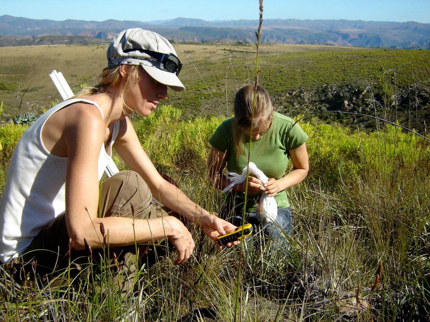
Team sampling habitat suitability of Cape Mountain Zebra – sometimes wildlife research is about grasses and dung collection.
The Baviaanskloof Nature Reserve (BNR) is the third largest protected area in South Africa (210 000 hectares), formally managed by the Eastern Cape Parks and Tourism Agency (ECPTA). The area hosts rich biodiversity with high endemism, being a place of convergence of 3 biodiversity hotspots, 7 of the 8 South African biomes and has been listed as a World Heritage Site by UNESCO.
Although the reserve was originally home to most of the country’s large mammals, historical human pressure has caused the local extinction of various species. The establishment of the nature reserve has safeguarded the remaining wildlife species and reintroductions have been undertaken in order to restore the original mammal community. The latest reintroductions include endangered and vulnerable IUCN listed species, such as the cape mountain zebra (Equus zebra zebra), black rhinoceros (Diceros bicornis bicornis) and African buffalo (Syncerus caffer).
The management stipulations of ECPTA include the need for monitoring these wildlife species’ populations. The reserve’s habitat characteristics and suitability for species requirements are determinant factors in their population success and distribution. Therefore, this project will assess the current population status and predict habitat suitability in the reserve to forecast population dynamics, through field data collection and GIS techniques. Additionally, capacity building of field rangers in surveying techniques and communication of the outcomes to the local community will further stimulate livelihoods’ participation in conservation activities in the area.
ECPTA has a database of on ground wildlife sightings and census undertaken by aerial technique. This data, in conjunction with a literature review on species habitat, will be placed on available GIS layers (ecogeographical variables) in order to provide an indication of the species’ habitat preferences. This information will support the partitioning of the reserve into “potential” habitats, ensuring that field surveys will be systematically allocated to represent these habitats.
Wildlife will be surveyed using randomly distributed line transects, crossing perpendicular sections of the potential habitats and evenly distributed along the range. Perpendicular distance technique and evidence of species’ occurrence will be documented, such as scat and footprint. Surveys will be conducted over the course of the year to cover seasonal variation. Although all large mammals will be surveyed and analysed by demographic and spatial analysis, special focus will be given to relevant species. The outputs will be converted into decision-making information (e.g., carrying capacity and habitat suitability), therefore allowing the translation of data into management requests.