Rajkamal Goswami
The project aims to carry out an inventory of birds and mammals diversity using community knowledge and scientific methods in the community forests and use geographic and biodiversity data to identify and prioritize important areas for conservation.
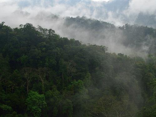
Evergreen community owned forests in Meghalaya. ©Rajkamal Goswami.
Current government protected area (GPA) centric conservation efforts are myopic and inadequate as large biodiversity rich areas exist beyond the GPA. In hilly and tribal dominated areas of north-east region of India more than 70% of the forests are managed by the communities. Such forests in the region have several forms of protection largely for extractive purposes but it appears none of these are sustainable anymore. With scant knowledge and little regard for the federal species protection laws, these forests have been subjected to extreme levels of hunting that has wiped out most of the fauna from these areas even before any inventory was done. With increasing pressures of development and economic growth it is important to initiate and strengthen biodiversity conservation efforts in such areas that can be considered for linking fragmented GPA network in the region. The complete absence of biodiversity inventory in such areas has made it difficult to plan and strategize any conservation exercise. The present study proposes to use a combination of community’s knowledge on local biodiversity with scientific inventory to assess the status of these forests and earmark key areas for active conservation that would complement and augment existing protected area network.
The primary contribution of the proposed project will be to provide robust scientific baseline information on biodiversity in forest areas managed and controlled by communities. This will be done by carrying out inventory exercises that will integrate existing knowledge of the local communities with sound scientific methods. Preliminary mapping exercises would be performed to identify areas for monitoring and inventory of the survey. Results from the proposed study would inform this map at each level. At the end of the study this map would form important outcome carrying spatial information on extent, distribution and important areas of biodiversity in the non GPA covered by the study. We would also pictorially represent threats and priority & gap areas which would be used to augment the current GPA. This exercise will also complement and inform upcoming plans of the state forest department to implement payment in exchange of conservation of forests. Our study will earmark and identify potential areas that might benefit both the conservation initiatives and the communities under the novel scheme.