Ganga Ram Regmi
Other projects
14 Feb 2008
Population Status, Threats and Conservation Measures of the Assamese Macaque in Langtang National Park, Nepal
25 Jun 2009
Community Outreach and Conservation Education Programme for the Conservation of Assamese Macaques in Langtang National Park, Nepal
The project aims at identifying key drivers of primate crop-raiding incidences, mapping crop-raiding hotspots and predicting crop-raiding risk based on multiple GIS models in Nepal.
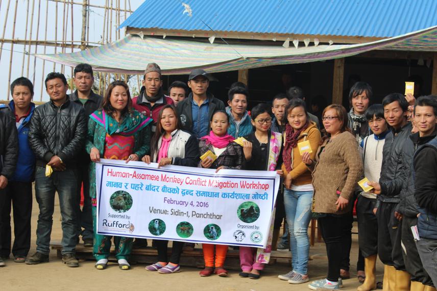
Participants in the workshop and seed distribution program.
Resolving conflict between farmers and crop-raiding primates has become a challenging task for wildlife managers in Nepal. However, no science-based study on factors associated with primates’ crop-raiding incidents has been carried out to deal with this wide-spread problem in Nepal. Therefore, using spatial (GIS) models, this project will:
a) map crop-raiding hotspots,
b) identify the key drivers,
c) show the distributions of primates, agricultural farms, and land uses in Nepal,
d) how the interaction between these factors influences crop-raiding levels.
Crop-raiding presence/absence data, accompanied with geo-referenced digital photography, within 1km periphery of forests inhabiting monkeys and associated variables will be collected randomly but from representative parts of Nepal. Geo-referenced semi-structured interviews and focus group discussion will be used for examining attitudes towards crop-raiding primates, crop-raiding risk, crop damage, local authorities and the influence on coping strategies. A site-specific GIS layers will be created for sampled study villages with grid systems superimposed to analyse relevant variables. Once the model is build, predictive maps will aid future management by identifying factors that increase raiding risk. This method has the unique advantage of being pro-active, reliable and cost-effective covering large areas that otherwise would not have been investigated and resolved for the management of conflict. Finally, data from farmers’ interviews and experts’ opinion survey will be overlaid comparing real and perceived risk in a spatial-model.
We use latest data mining techniques to identify main drivers of this conflict. We follow robust Ecological Niche Modelling techniques using Machine Learning algorithms, such as Maxent, Boosting and Random Forest (bagging), to obtain an ‘ensemble’ of models for the best predictions. As an essential outcome of this work, and after mapping crop-raiding hotspots, site-specific conflict mitigations can be carried out. For example, farmers can be suggested to grow alternative buffer cash crop or to be more vigilant on the predicted crop-raiding risk areas. They can also be suggested which monkey species is the most likely to damage their crops in particular sites, what time of day, what type of weather, what type of crops, and what type of crop-parts are more favourable for crop-raiding.
The data will be made publicly and globally available with metadata at the U.S. National Biological Information Infrastructure (NBII) and the Global Change Master Directory (GCMD; NASA) websites. The results of the projects will also be shared with relevant stakeholders in Nepal as well as published in peer reviewed journals.