Cindy Hurtado
Other projects
The main objective of this project is identifying key areas within the National Park in order to create conservation spots of these habitats, and propose a long-term monitoring of their populations.
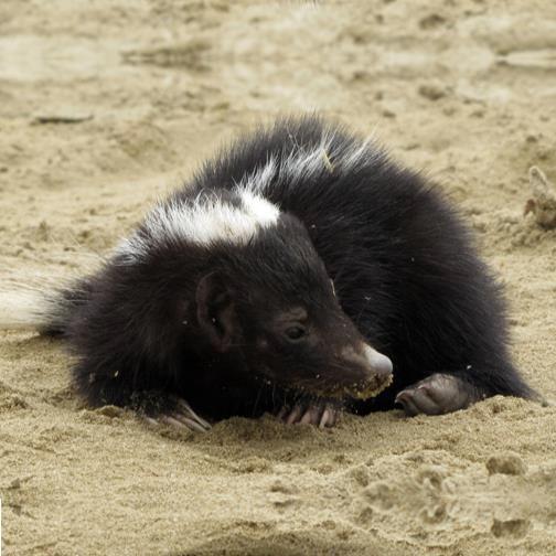
Anas, Conepatus semistriatus.
The fact that funding in protected areas is usually scarce carries out other problems such us: wildlife hunting, illegal lodging, extensive farming and irresponsible tourism (garbage accumulation and wildlife disturbance). With our research we pretend to establish hot spots, determine abundance and habitat utilization by umbrella species, allowing us to distribute this information, especially, to park managers to reorient their few resources to the effective protection of wildlife core areas.
Most of the species to be evaluated are highly threatened and included in the IUCN redlist and CITES appendix, such as: Leopardus pardalis, L. wiedii, L. colocolo, Puma yagouaroundi, P. concolor , Panthera onca , Nasua narica, Odocoileus peruvianus, Eira barbara, Tamandua mexicana. To achieve the project’s objectives, three sampling methods will be used in each type of habitat (Tropical Forest, Dry Forest, and a transitional forest between the two:
Diurnal and nocturnal censuses, in four different times of the year (August and November - dry season and January and March - wet season). Three transects of 2- 4 Km will be routed in each type of habitat and those will be walked at three different times of the day and during 6 days per habitat. A distancemeter will be used to calculate the distance between the researcher and the animal to subsequently use this information in the software Distance.
Scent stations will also be used to collect footprints. Species will be determined based on Becker and Dalponte (1991), Aranda (2000), Moro-Rios et al. (2008) field guides.
In addition, 20 camera traps will be placed at the Cerros de Amotape National Park for a period of 1 month per season and per habitat. The cameras will be separated by 1km and checked every week to change batteries and obtained photos. Considering the type and number of observations obtained (direct or indirect) the data will be used with the software Distance 3.5 to calculate population density. If the amount of sightings is not enough to use the software Distance, the abundance index will be calculated dividing the number of observations by the sampled area.