Yelena Gambarova
Other projects
7 Dec 2015
Increasing Capacity for Biodiversity Conservation: Long-Term Integrated Research and Conservation Education Program, Azerbaijan
12 Mar 2018
Evaluating the Effectiveness of Long-Term Integrated Research and Conservation Education Program, Azerbaijan
The overarching project goal is to conserve rare plant in Azerbaijan by facilitating the availability of quality science for making conservation decisions.
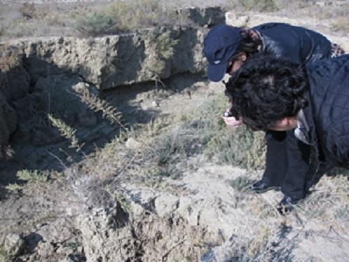
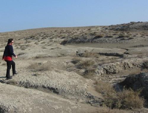
The methodological approach of this Project will include training in the field of identification and census methods and the use of standardized monitoring methods. The Project will include monitoring of threats to rare plants, analysis of the results and education of Local Community. The Project will include monitoring of existing threats to rare vegetation (Global Climate Change, oil and gas exploration, pipeline construction, overgrazing of winter and summer pastures by domestic sheep, goats and cattle, methane emission from mud volcanoes etc.).
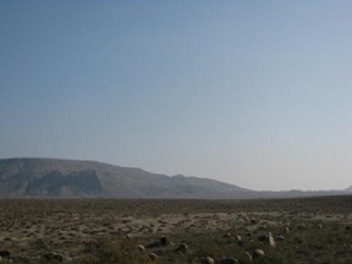
The Field Surveys will be conducted in accordance with preliminary data on the spread of rare plants and potential threats in the study area. Since GPS devices provided the locations for ground reference, data during fieldwork and the sample plots will be accurately linked to satellite images.
The Field work will support interpretation of satellite images and delineation of the general land cover and land use types. District boundary maps, survey maps and satellite images, vector polygons such as Geographical areas of archaeological and historic site (Gobustan State Reserve) will be graphical components of Design Application. After receiving information about the threats to rare vegetation, the next step will be an assessment of these threats based on the processing of satellite images. It will be included: Spatial representation of sources of the threats; Past & Present Distribution Maps and Classification of remotely sensed data.
The future Project will facilitate further in-depth training, interaction, and coordination of Azerbaijani teachers, students, and other groups interested in preserving their ecosystem. Training of Azerbaijani students and other groups interested in preserving their ecosystem will be held during Project Implementation.The project team will held training workshop included sessions and training on GIS and project management.