Pratima Bhandari
Banke National Park (BaNP), recognized as “gift to the earth”, provides various ecosystem services (ES). Out of eight ecosystems exist in BaNP, Chure ecosystem is ecologically most sensitive which is frequently disturbed by anthropogenic factors—posing threat to park biodiversity and local livelihood. This project aimed to assess the ES offered by Chure site of BaNP and increase community stewardship on Chure ecosystem conservation. RRA/PRA tools, TESSA toolkit, and GIS technique will be used for this assessment. Data generated from this project will be useful to concerned authorities to help to set priorities while planning and decision making for Chure conservation and ES delivery.
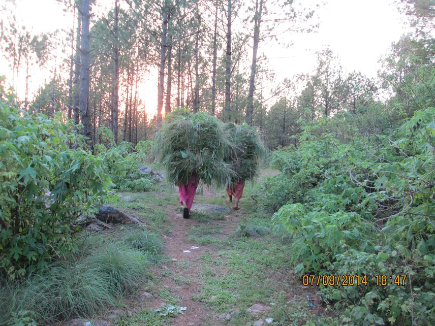
Women carrying fodder-grass collected from the forest.
Banke National Park (BaNP), covering an area 550km2 and its buffer zones 343km2, was established in 2010 as 10th park in Nepal to reflect the government's commitment to biodiversity conservation at the landscape level (DNPWC, 2016). This park contains eight major ecosystem types: Sal forest, deciduous riverine forest, savannahs-grasslands, mixed hardwood forest, flood plain community, Bhabar and foot hills of Chure range. Out of these, Chure ecosystem is most fragile and ecologically sensitive, which is frequently disturbed by anthropogenic factors — posing threat to park biodiversity and local livelihood.
Chure region lies in the north of this park has critical concern to conserve focus wildlife species, controlling soil erosion, sand deposition and regulation of surface water flow for Terai region. Chure ecosystem conservation is important not only for the biodiversity perspective but also for the people living around and downstream across the range. Ecosystem services and biodiversity are the prosperity of the agricultural farmer who highly depends on natural resources (Daily et al., 2011). Out of total 35,712 people from 4,861 households living around buffer zone area of BaNP, about 90% people’s livelihood depends on agriculture and 10% have trade and labour (DNPWC, 2016). It is important to identify key ecosystem services, community’s awareness of these services and evaluate how important these services are to people—what they worth.
With this realization, considering the local community as a core element of conservation, this project will be carried out in buffer zone areas of BaNP, at the northern site that lies in Chure region. Specifically, it is aimed to:
• assess the ecosystem services offered by Chure site of BaNP,
• map out these services identified by communities and
• increase community’s stewardship on Chure ecosystem conservation
Rapid/Participatory Rural Appraisal (RRA/PRA), Toolkit for Ecosystem Service Site-based Assessment (TESSA), and Geographic Information System (GIS) technique will be used for this study. Moreover, the effect of anthropogenic factors on Chure ecosystem will be explored using mixed effect modelling approach. Data generated from this project will be useful to concerned authorities to help to set priorities while planning and decision making for Chure ecosystem conservation and its service delivery.