Juan Felipe Gómez
This project aims to provide an updated database about coastal evolution over time as well as specific guidelines to the park managers concerning the best practices to achieve beach-dune restoration and stabilization.
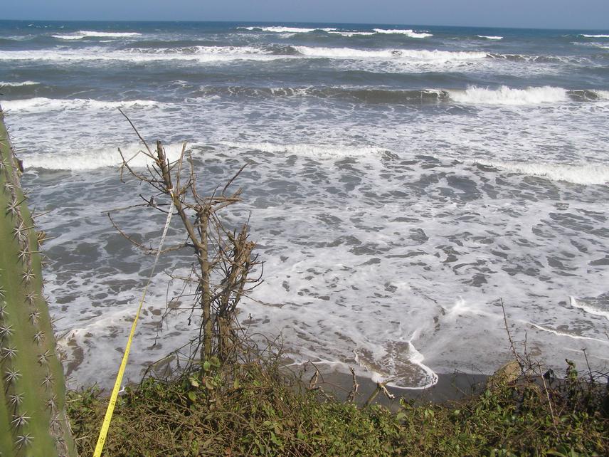
Beach-dune systems are a valuable geomorphic natural barrier providing a buffer between the coastal hinterland and the sea. For instance, the beach-dune system in the Isla Salamanca National Park in Colombia represents a transition landscape between the coastal regimes seaward and continental processes landward, protecting beaches from wave energy on eroding coasts and avoiding marine intrusion on the coastal hinterland, respectively; however, in the study site dunes have been largely modified and affected by both natural processes and human activities. Consequently, their role as a natural landscape in feeding back sand to beaches facing erosion as well as creating a transition zone between the ocean and the continent has been largely diminished.
Despite the fact that the proposed study site is protected by government regulations established for national natural parks, human activities carried out in the vicinity, such as piers building, dredging activities to facilitate harbour operations, and river channel modifications, have impacted the proposed study site. As a result, landscapes together with fauna and flora have been seriously threatened by the modification of the ecosystem. An initial approach to reduce stress for these species is through restoring landscapes and subsequently habitats.
This project will contribute to identifying best strategies for the beach-dune system preservation and restoration, and to providing an updated database with beach-dune evolution and maps of the coastal trends over time. As a first step, coastline, dune, and wetland changes will be assessed in field campaigns and by comparing aerial photographs taken since the 1950s, with satellite images taken after 2000. The above results will be related to coastline and wetland changes and incorporated into the database. As a result of this activity, a coastal geomorphology map as well as dune and coastal evolution cartography will be obtained. Having the coastal evolution map will help to determine erosive, stable and accretive sectors over time, so that beach-dune particular physical characteristics associated with each of these trends could be recognized.
Overall, the results of this project will make a contribution to addressing coastal changes and minimizing their impact in the future through identification of management practices to achieve coastal stability, thus helping to protect not only the beaches and dunes but also the wetlands and biodiversity associated with the coastal system.